
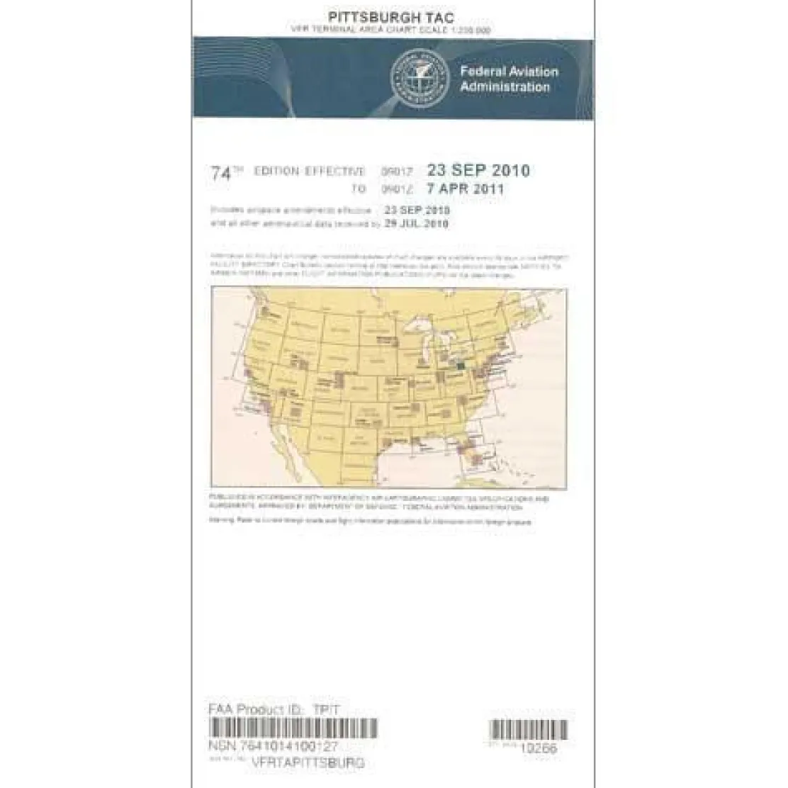
FAA Pittsburgh VFR Terminal Area Chart – 07/09/26 thru 09/03/26
Original price was: 5,00 $.3,89 $Current price is: 3,89 $.
The FAA Pittsburgh VFR Terminal Area Chart is a specialized navigation tool for pilots operating in Pittsburgh’s complex Class B airspace.
Enhanced Detail for Safe Navigation This chart offers large-scale detail at 1:250,000 scale, providing more aeronautical information than standard sectional charts.
Navigate Pittsburgh’s Class B Airspace
When flying into or around Pittsburgh International Airport, pilots must navigate busy Class B airspace. The Pittsburgh Terminal Area Chart offers essential radio frequencies, altitude restrictions, and airspace boundaries with clarity. Its full-color design highlights key navigation points, aiding pilots in maintaining proper separation from commercial traffic. Student pilots, certified flight instructors, and general aviation pilots benefit from comprehensive VFR flyway planning routes, which suggest paths to avoid conflicts with larger, faster traffic.
Regular Updates for Current Information
What sets this chart apart is its 56-day revision cycle, ensuring pilots have the latest airspace information and regulatory updates. Whether you’re a flight instructor teaching navigation in Class B airspace or a charter pilot needing efficient routing, this chart is an indispensable cockpit resource. Its intuitive layout and detailed coverage make it the preferred choice for pilots prioritizing safety and compliance in busy airspace.
Navigate Pittsburgh’s Class B airspace safely and compliantly with the official FAA Terminal Area Chart, featuring large-scale detail and essential flight data, all updated every 56 days. Order your current chart now!
Be the first to review “FAA Pittsburgh VFR Terminal Area Chart – 07/09/26 thru 09/03/26”
Related products
Aircraft Checklists
Qref Cessna 172R Skyhawk (1997+) Pilot Aircraft Procedures Checklist Flip Book
Faa Chart Supplements
FAA Chart Supplement SE (Airport/Facility Directory South East) – 07/09/26 thru 09/03/26
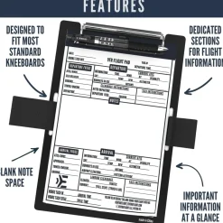
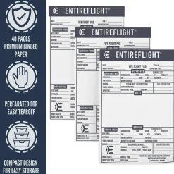
Pens & Writing Pads
EntireFlight VFR Flight Pad 3-Pack: Triple the Organization, Triple the Convenience
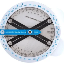
Flight Computers & Plotters

Aircraft Manuals (Poh)
Piper PA-14 Piper Family Cruiser Owner’s Manual (part# PA14-O-C)
Aircraft Manuals (Poh)
Aero Commander 560E 1957-60 Flight Manual (part# AC560E57-60-F-C)

Pilot Essentials


Motion Sickness Relief
TravelJohn Resealable Disposable Urinal Bags with Liqsorb Gel (TJ1N-C) 3 Pack
Faa Charts
FAA H9/10 Instrument Flight Rules (IFR) Enroute High Altitude Chart – 07/09/26 thru 09/03/26

Ifr Training Products
BLOCKALLS IFR View Limiting Device: The Evolution of Instrument Training
Reviews
There are no reviews yet.