
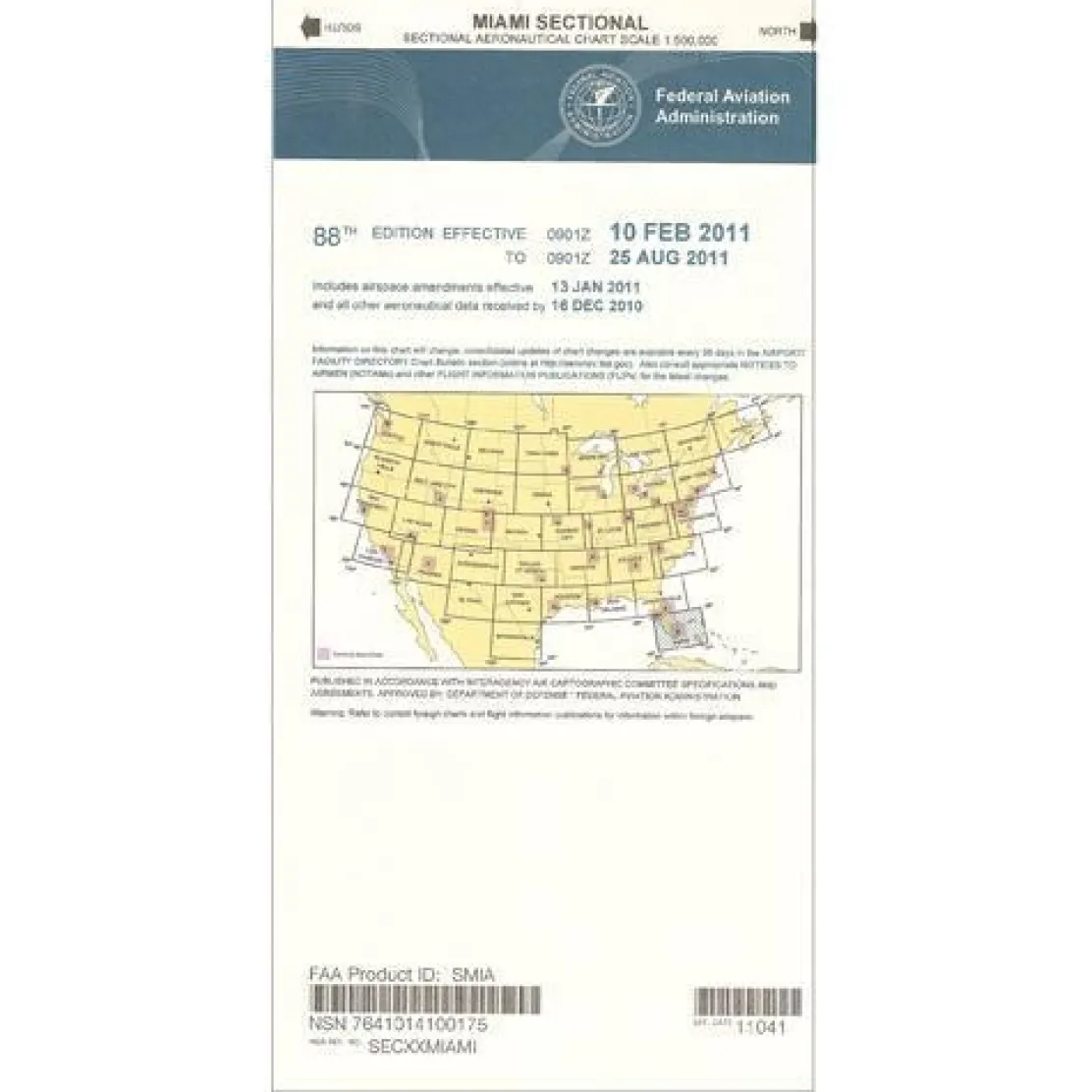
FAA Miami VFR Sectional Aeronautical Chart – 07/09/26 thru 09/03/26
Original price was: 8,00 $.5,89 $Current price is: 5,89 $.
The Miami sectional chart is the definitive VFR navigation tool for pilots exploring southern Florida’s complex airspace and stunning destinations.
This official FAA aeronautical chart offers unmatched accuracy and regulatory compliance, ensuring pilots trust it for safe flight planning throughout South Florida.
Comprehensive Coverage of Southern Florida
When pilots ask, “What areas does the Miami sectional cover?” they find this chart encompasses the entire southern Florida region. It spans from the bustling Miami metropolitan area through the pristine Everglades, down to the tropical Florida Keys, and even extends into portions of the Bahamas. This extensive coverage is invaluable for cross-border flights and island-hopping adventures that define Florida Keys flying. The chart’s detailed aeronautical data includes essential airport information like runway lengths, lighting systems, elevation data, and available services. Precise airspace boundaries help pilots navigate the region’s complex controlled airspace with confidence.
Regular Updates for Current Navigation
Updated every 56 days through the official chart cycle, this South Florida VFR chart ensures pilots always have access to the most current navigational aids, radio frequencies, air traffic control facilities, and obstruction data. Whether you’re a recreational pilot planning a weekend getaway to Key West, a flight instructor teaching students about sectional chart interpretation, or a commercial operator conducting tours over the Everglades, this low-cost publication delivers comprehensive flight planning capabilities. The standard scale shows 6.86 nautical miles per inch, providing the perfect balance of detail and coverage for visual navigation throughout southern Florida airspace.
Fly confidently and stay compliant with the official FAA Miami Sectional, your most accurate and up-to-date guide for navigating South Florida, the Keys, and the Bahamas. Order your current edition today!
Be the first to review “FAA Miami VFR Sectional Aeronautical Chart – 07/09/26 thru 09/03/26”
Related products
Aircraft Manuals (Poh)
Aerospatiale TB10 1988 Pilot’s Information Manual (part# SN-948)

Aircraft Checklists

Aircraft Manuals (Poh)
Cessna 172N Skyhawk 1978 Pilot’s Operating Handbook (D1109-1-13)
Pens & Writing Pads
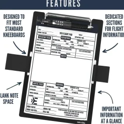
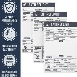
EntireFlight VFR Flight Pad 3-Pack: Triple the Organization, Triple the Convenience


Faa Charts
FAA H9/10 Instrument Flight Rules (IFR) Enroute High Altitude Chart – 07/09/26 thru 09/03/26
Faa Chart Supplements
FAA Chart Supplement SE (Airport/Facility Directory South East) – 07/09/26 thru 09/03/26


Ifr Training Products
BLOCKALLS IFR View Limiting Device: The Evolution of Instrument Training

Aircraft Manuals (Poh)
Lycoming GSO-480 & IGSO-480 Series 1968 Parts Catalog PC-114 (PC-114)

Aircraft Checklists

Aircraft Manuals (Poh)
Cessna 180K Skywagon 1977 Pilot’s Operating Handbook (D1086-13)

Reviews
There are no reviews yet.