
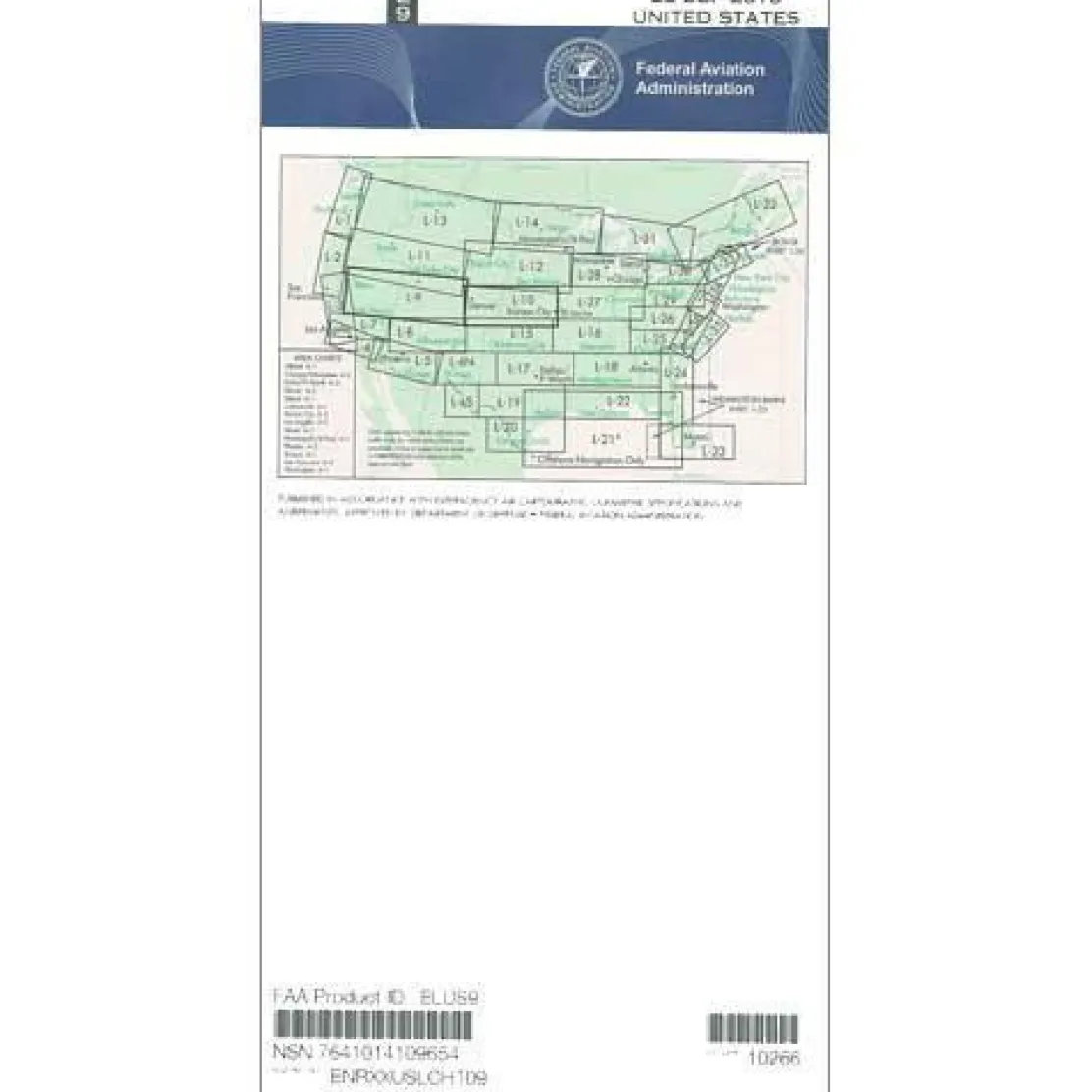
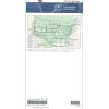
FAA L9/10 Instrument Flight Rules (IFR) Enroute Low Altitude Chart – 07/09/26 thru 09/03/26
Original price was: 5,00 $.3,89 $Current price is: 3,89 $.
The FAA Enroute Low Altitude Chart L9/10 is the essential navigation tool for instrument pilots flying below 18,000 feet across the Midwest and Western United States.
This chart is the only FAA-approved source for comprehensive low-altitude navigation data, ensuring accuracy and regulatory compliance for safe instrument flight operations.
Comprehensive Coverage and Clarity
Pilots using the FAA L9/10 enroute chart benefit from its expansive East-West corridor coverage. It stretches from California through Missouri and Iowa, also covering Nevada, Utah, Colorado, Kansas, and Nebraska. This IFR chart is indispensable for cross-country flights, offering detailed information on IFR airways, navigational fixes, ATC reporting points, military training routes, area navigation routes, special use airspace, controlled airspace boundaries, and VHF navigation facilities. The four-color design enhances clarity, while variable scales from 5 to 20 nautical miles per inch meet diverse flight planning needs.
Regular Updates for Current Navigation
Understanding the update frequency of FAA enroute low charts is crucial for maintaining current navigation data. This chart follows a 56-day publication cycle to reflect the latest airspace changes and navigational updates. Whether you’re a general aviation pilot planning a cross-country journey, a flight instructor teaching instrument navigation, or a corporate operator ensuring passenger safety, this AeroNav low altitude chart helps you stay current with evolving airspace requirements. Available as individual purchases and subscriptions, it simplifies tracking chart currency while providing cost-effective access to essential navigation data.
Ensure safe, compliant IFR flights across the Midwest and West with the official FAA L9/10 Enroute Chart, providing up-to-date, comprehensive navigation below 18,000 feet. Order your current edition today!
Be the first to review “FAA L9/10 Instrument Flight Rules (IFR) Enroute Low Altitude Chart – 07/09/26 thru 09/03/26”
Related products

Ifr Training Products
BLOCKALLS IFR View Limiting Device: The Evolution of Instrument Training

Aircraft Manuals (Poh)
Cessna 172N Skyhawk 1978 Pilot’s Operating Handbook (D1109-1-13)
Aircraft Manuals (Poh)
Cessna 180K Skywagon 1977 Pilot’s Operating Handbook (D1086-13)


Aircraft Manuals (Poh)

Aircraft Manuals (Poh)
Lycoming GSO-480 & IGSO-480 Series 1968 Parts Catalog PC-114 (PC-114)
Aircraft Manuals (Poh)
Faa Chart Supplements
FAA Chart Supplement SE (Airport/Facility Directory South East) – 07/09/26 thru 09/03/26
Aircraft Manuals (Poh)
Aero Commander 560E 1957-60 Flight Manual (part# AC560E57-60-F-C)
Pilot Essentials

Aircraft Manuals (Poh)
Piper PA-14 Piper Family Cruiser Owner’s Manual (part# PA14-O-C)
Aircraft Manuals (Poh)
Reviews
There are no reviews yet.