
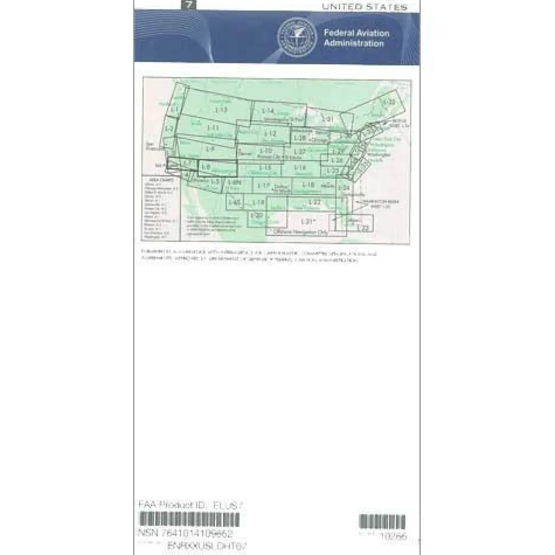
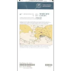
FAA L7/8 Instrument Flight Rules (IFR) Enroute Low Altitude Chart – 07/09/26 thru 09/03/26
3,89 $
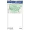
The FAA Enroute Low US L7/8 is the official aeronautical navigation chart for IFR operations below 18,000 feet in the Southwestern United States.
Official FAA Source: This L7/8 IFR low altitude chart is published by AeroNav, the FAA’s authorized publisher, ensuring you receive the same navigation data used by air traffic controllers nationwide.
Comprehensive Coverage and Critical Flight Information
When pilots ask, “What areas does the L7/8 chart cover?” they find extensive coverage of Southern California and northern Arizona and New Mexico. This Southwest IFR chart provides essential flight information, including low-altitude flight routes (Victor Airways), navigational fixes, ATC reporting points, Military Training Routes (MTRs), GPS/satellite navigation routes, special use airspace, controlled airspace boundaries, and radio navigation aids with frequencies, identifiers, and geographic coordinates. The four-color design presents this data with chart scales from 5 to 20 nautical miles per inch, optimized for precise flight planning and in-flight reference.
Updated Every 56 Days for Current Information
Published on the FAA’s standard 56-day cycle, these L7/8 charts offer the most up-to-date navigation data. Whether you’re a private pilot planning an IFR flight through challenging weather, a flight instructor conducting training operations, or managing corporate aviation departments, this official FAA low altitude enroute chart provides the regulatory compliance and safety assurance your operations demand. Available as both individual purchase and subscription options, this chart adapts to your specific operational needs while delivering the authoritative navigation data essential for IFR flight planning in the region.
Navigate the Southwestern US with IFR precision and guaranteed FAA compliance using the official AeroNav L7/8 Enroute Low Chart, featuring the most current, FAA-direct data. Order your essential chart today!
Be the first to review “FAA L7/8 Instrument Flight Rules (IFR) Enroute Low Altitude Chart – 07/09/26 thru 09/03/26”
Related products

Aircraft Manuals (Poh)
Cessna 172N Skyhawk 1978 Pilot’s Operating Handbook (D1109-1-13)
Aircraft Manuals (Poh)
Aero Commander 560E 1957-60 Flight Manual (part# AC560E57-60-F-C)
Aircraft Checklists
Qref Cessna 172P Skyhawk (1981-86) Pilot Aircraft Procedures Checklist Card

Aircraft Manuals (Poh)

Aircraft Manuals (Poh)
Lycoming GSO-480 & IGSO-480 Series 1968 Parts Catalog PC-114 (PC-114)
Aircraft Checklists
CheckMate – TowCards Checkmate+ Standard Size Comprehensive Pilot Checklist (Modernized and Updated)
Aircraft Manuals (Poh)
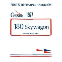
Cessna 180K Skywagon 1977 Pilot’s Operating Handbook (D1086-13)
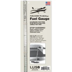
Fuel Testers & Gauges
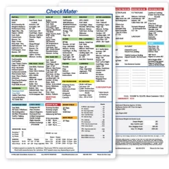
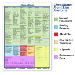
Aircraft Checklists
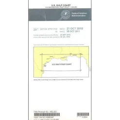

Aircraft Checklists
Cessna 152 Checkmate+ Standard Size Comprehensive Pilot Checklist (Modernized and Updated)
Aircraft Manuals (Poh)
Aerospatiale TB10 1988 Pilot’s Information Manual (part# SN-948)
Reviews
There are no reviews yet.