
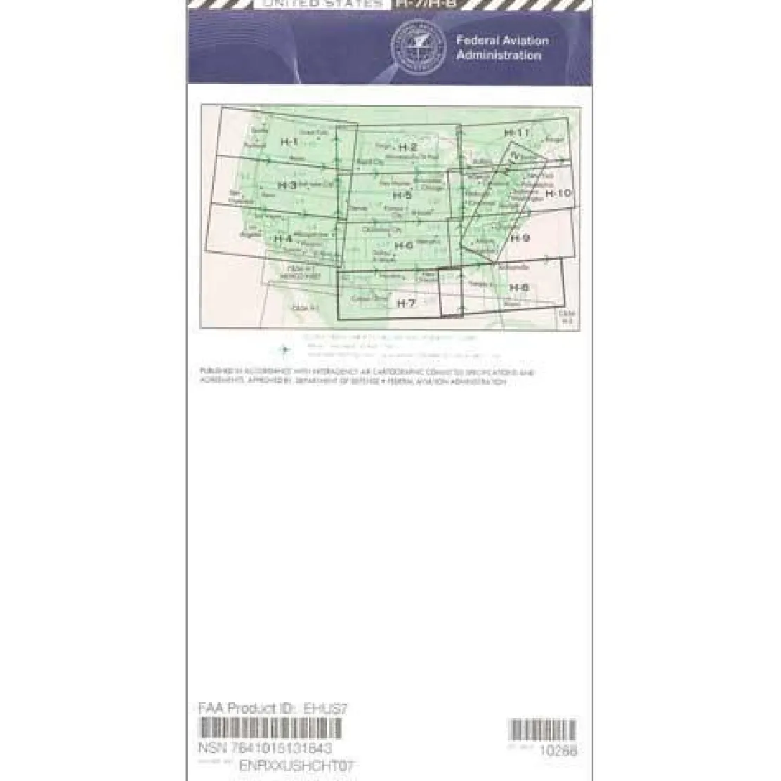
FAA H7/8 Instrument Flight Rules (IFR) Enroute High Altitude Chart – 07/09/26 thru 09/03/26
Original price was: 5,00 $.3,99 $Current price is: 3,99 $.
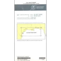
The FAA H7/8 Instrument Flight Rules (IFR) Enroute High Altitude Chart is the essential navigation tool for pilots operating at or above 18,000 feet in the Gulf Coast region.
This official FAA aeronautical chart offers comprehensive Gulf Coast coverage, spanning Texas to Florida, northeastern Mexico, and much of the Bahamas, all in one authoritative tool.
Comprehensive Coverage and Critical Navigation Data
Pilots seeking to know “what areas do H7 H8 charts cover” will find this chart includes vital flight corridors in TX, LA, MS, AL, GA, and FL. It is presented at a practical scale of 20 nautical miles per inch. The four-color publication provides specialized navigation data essential for Class A airspace operations. It includes VHF navigational facilities with complete frequency and coordinate information, jet routes, GPS-based high-altitude routes, and IFR reporting points not available on low-altitude charts. Commercial airline pilots, corporate jet operators, and advanced flight instructors rely on this chart’s detailed coverage of high-altitude controlled airspace for safe, efficient flight planning and execution.
Regular Updates for Compliance and Safety
Pilots wondering “how often are IFR high charts updated” will appreciate that this chart follows the FAA’s standard 56-day cycle. This ensures current navigational information that meets regulatory requirements for instrument flight operations. Whether you need a one-time purchase for specific flights or prefer a chart subscription service for regular Gulf Coast operations, this official FAA publication delivers the accuracy and currency that professional aviation demands for flight level navigation.
Fly the Gulf Coast’s high-altitude IFR routes with confidence using the official FAA H7/8 chart, your essential tool for comprehensive, always current navigation in a single, integrated format, ensuring safety and compliance. Get yours now!
Be the first to review “FAA H7/8 Instrument Flight Rules (IFR) Enroute High Altitude Chart – 07/09/26 thru 09/03/26”
Related products
Aircraft Manuals (Poh)
Lycoming GSO-480 & IGSO-480 Series 1968 Parts Catalog PC-114 (PC-114)

Aircraft Manuals (Poh)
Cessna 172N Skyhawk 1978 Pilot’s Operating Handbook (D1109-1-13)
Aircraft Manuals (Poh)
Pens & Writing Pads
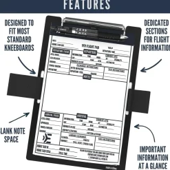
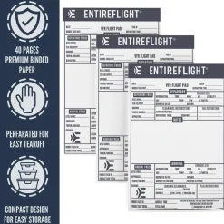
EntireFlight VFR Flight Pad 3-Pack: Triple the Organization, Triple the Convenience
Aircraft Manuals (Poh)
Aero Commander 560E 1957-60 Flight Manual (part# AC560E57-60-F-C)

Ifr Training Products
BLOCKALLS IFR View Limiting Device: The Evolution of Instrument Training
Aircraft Manuals (Poh)
Aircraft Manuals (Poh)
Aircraft Manuals (Poh)
Piper PA-14 Piper Family Cruiser Owner’s Manual (part# PA14-O-C)
Reviews
There are no reviews yet.