
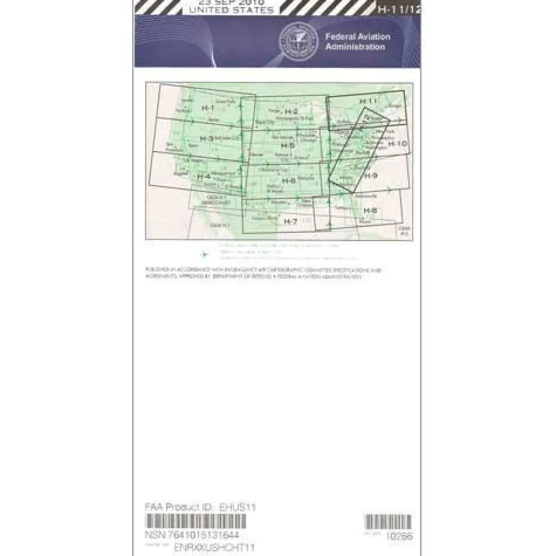
FAA H11/12 Instrument Flight Rules (IFR) Enroute High Altitude Chart – 07/09/26 thru 09/03/26
Original price was: 5,00 $.3,89 $Current price is: 3,89 $.
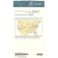
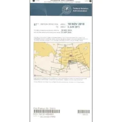
The FAA H11/12 Instrument Flight Rules (IFR) Enroute High Altitude Chart is the definitive navigation resource for pilots flying at or above 18,000 feet across the Eastern United States and parts of Canada.
This official FAA chart offers unmatched coverage of the Eastern Seaboard and several Canadian provinces, making it essential for long-haul and international flights in Class A airspace.
Comprehensive Aeronautical Information
When pilots ask, “What is included in the H-11/12 enroute chart?” they find a comprehensive four-color publication with all critical aeronautical information for safe high-altitude operations. The IFR high altitude chart Eastern US coverage includes detailed jet routes, high-altitude GPS-based flight paths (RNAV Q-Routes), radio navigation stations with frequencies and coordinates, in-flight check-in locations, and selected airports across portions of Georgia, North Carolina, South Carolina, Virginia, West Virginia, the District of Columbia, Maryland, Delaware, Pennsylvania, New York, New Jersey, Massachusetts, Connecticut, Rhode Island, Vermont, New Hampshire, Maine, and Michigan, plus the Canadian provinces of Ontario, Quebec, New Brunswick, and Nova Scotia.
Precision and Reliability
Professional airline pilots, corporate flight departments, and flight training organizations rely on this chart’s precision cartography at the standard scale of 20 nautical miles per inch. Updated every 56 days to ensure accuracy, this FAA high altitude enroute chart eliminates guesswork from instrument flight planning while maintaining regulatory compliance. Available as both a one-time purchase and subscription, it is an indispensable aviation resource for anyone operating in the busy airspace corridors of the Eastern United States.
Fly the Eastern US high routes with confidence using the official FAA H11/12 chart, always current, incredibly detailed, and ensuring your compliance. Get yours now!
Be the first to review “FAA H11/12 Instrument Flight Rules (IFR) Enroute High Altitude Chart – 07/09/26 thru 09/03/26”
Related products
Aircraft Manuals (Poh)
Pens & Writing Pads
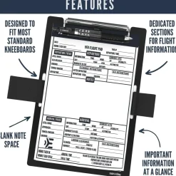
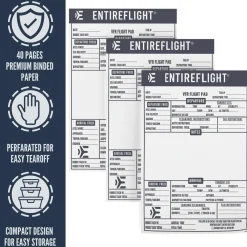
EntireFlight VFR Flight Pad 3-Pack: Triple the Organization, Triple the Convenience

Aircraft Manuals (Poh)
Aerospatiale TB10 1988 Pilot’s Information Manual (part# SN-948)


Aircraft Manuals (Poh)
Cessna 172N Skyhawk 1978 Pilot’s Operating Handbook (D1109-1-13)
Aircraft Checklists

Aircraft Manuals (Poh)

Aircraft Manuals (Poh)
Lycoming GSO-480 & IGSO-480 Series 1968 Parts Catalog PC-114 (PC-114)
Flight Computers & Plotters
Aircraft Checklists
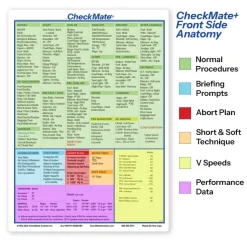
CheckMate – TowCards Checkmate+ Standard Size Comprehensive Pilot Checklist (Modernized and Updated)
Reviews
There are no reviews yet.