
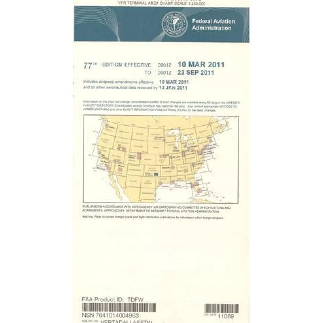
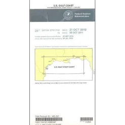
FAA Dallas Ft. Worth VFR Terminal Area Chart – 07/09/26 thru 09/03/26
3,89 $
The FAA Dallas Ft. Worth VFR Terminal Chart is the most detailed and current aeronautical navigation tool for navigating one of America’s busiest airspace environments.
This official chart, with a large 1:250,000 scale, offers superior detail compared to standard sectional charts, making it the definitive choice for safe navigation through North Texas airspace.
Navigate Complex Airspace with Confidence
Pilots flying into the Dallas-Fort Worth metroplex face complex airspace with high traffic density and strict operational requirements. This DFW terminal area chart addresses these challenges by providing landmark-rich mapping, essential radio frequencies, and critical altitude information. It covers the busy airspace around Dallas Love Field, DFW International, and surrounding airports, offering precise situational awareness. Student pilots preparing for checkrides benefit from this authoritative teaching tool that demonstrates proper navigation procedures in controlled airspace environments.
Comprehensive Coverage and Regular Updates
What airspace does the Dallas terminal chart cover, and how often are FAA charts updated for Dallas? This comprehensive chart encompasses the entire metropolitan area’s controlled airspace and receives mandatory updates every 56 days, ensuring pilots always have access to the most current operational data. The reverse side features VFR flyway planning information, helping slower aircraft identify safe flight paths that avoid high-speed airline traffic corridors. Whether you’re a weekend pilot visiting North Texas or a professional operator conducting regular business in the region, this chart transforms complex airspace navigation from a source of stress into a manageable, systematic process.
Safely navigate DFW’s complex airspace and stay compliant with the official FAA VFR Terminal Chart, featuring superior detail and crucial 56-day updates. Order yours today!
Be the first to review “FAA Dallas Ft. Worth VFR Terminal Area Chart – 07/09/26 thru 09/03/26”
Related products


Motion Sickness Relief
TravelJohn Resealable Disposable Urinal Bags with Liqsorb Gel (TJ1N-C) 3 Pack
Aircraft Manuals (Poh)
Lycoming GSO-480 & IGSO-480 Series 1968 Parts Catalog PC-114 (PC-114)
Aircraft Checklists
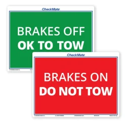
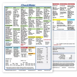
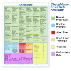
CheckMate – TowCards Checkmate+ Standard Size Comprehensive Pilot Checklist (Modernized and Updated)
Aircraft Manuals (Poh)
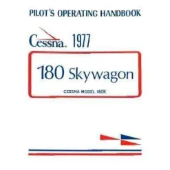
Cessna 180K Skywagon 1977 Pilot’s Operating Handbook (D1086-13)
Fuel Testers & Gauges
Pens & Writing Pads
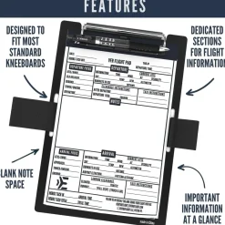
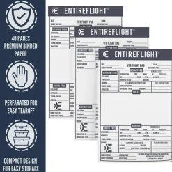
EntireFlight VFR Flight Pad 3-Pack: Triple the Organization, Triple the Convenience

Aircraft Manuals (Poh)
Aircraft Checklists
Pilot Essentials
Ifr Training Products
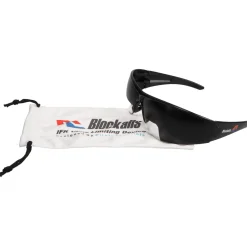
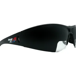
BLOCKALLS IFR View Limiting Device: The Evolution of Instrument Training
Flight Computers & Plotters
Reviews
There are no reviews yet.