
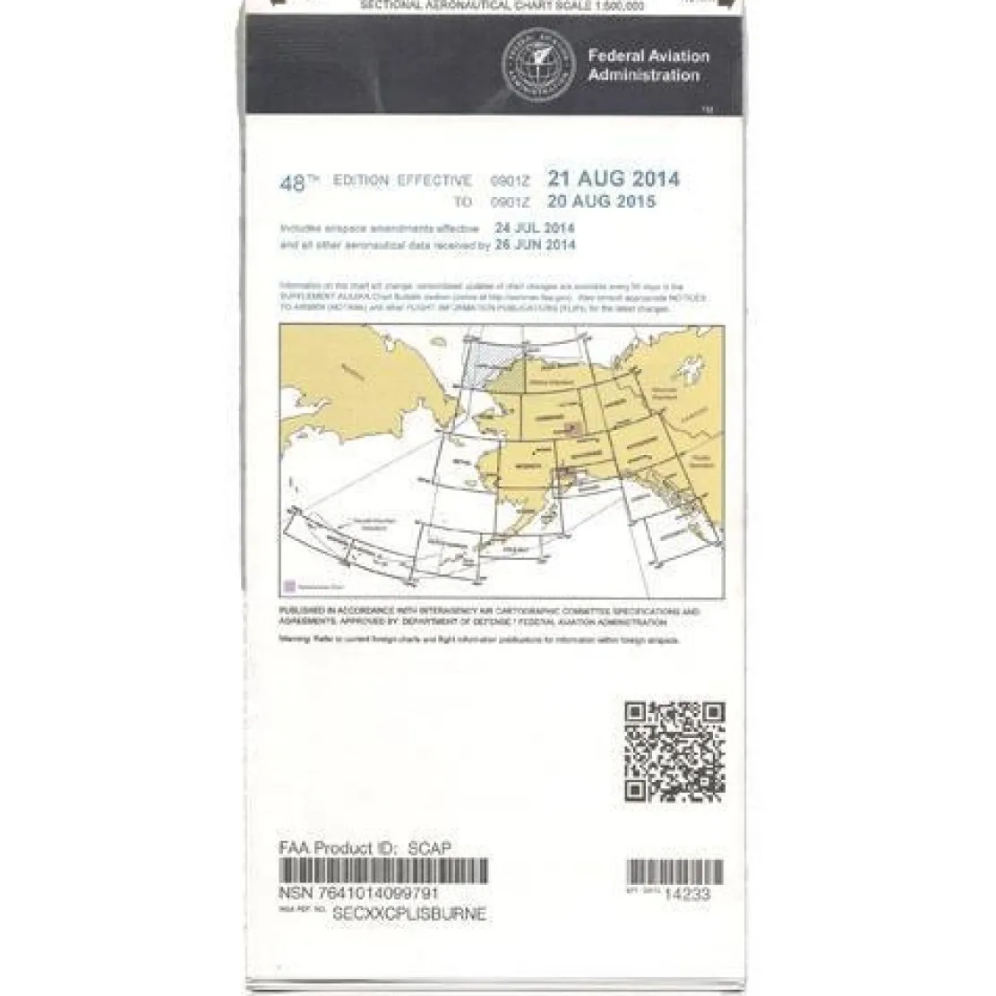
FAA Cape Lisburne VFR Sectional Chart for Alaska Pilots – 07/09/26 thru 09/03/26
Original price was: 7,00 $.5,89 $Current price is: 5,89 $.
The FAA Cape Lisburne Sectional Chart is a specialized aeronautical navigation tool designed for pilots flying in Northwestern Alaska.
Essential Navigation Data for safe flights in remote regions.
Pilots operating in extreme Northwestern Alaska face unique navigation challenges. Reliable aeronautical charts can mean the difference between a successful flight and a dangerous situation. Updated every 56 days, the FAA Cape Lisburne Sectional Chart is the only official sectional chart specifically covering the Lisburne Peninsula and a portion of the Chukchi Sea. It provides essential navigation data for this remote region, where outdated information poses serious safety risks.
Comprehensive Flight Information
When bush pilots and adventure aviators ask, “Which sectional chart covers Northwestern Alaska?” this comprehensive Visual Flight Rules navigation chart delivers the answer. With its detailed 1:500,000 scale mapping, where one inch represents approximately 6.86 nautical miles, this foldable, full-color Alaska sectional chart contains critical aviation data. It includes airport information with runway lengths, lighting, elevation, and surface types, plus airspace dimensions, VHF and low and medium frequency navigation aids with frequencies and identifiers, landmarks, elevation and topographic details, air traffic control entities with radio frequencies, bodies of water, and obstruction data. Professional pilots conducting search and rescue operations rely on this current Alaska aeronautical chart for precise location information in areas with minimal infrastructure. Recreational aviators gain the knowledge of surrounding airspace and terrain needed for safe wilderness flying adventures.
Current and Reliable Data
As part of the FAA’s regular update cycle, this Visual Flight Rules navigation chart ensures pilots have access to the most current navigational data available. It addresses the critical need for accuracy in a region where emergency landing options are limited and weather conditions can change rapidly. Flight instructors and aviation safety trainers choose this official FAA Alaska sectional chart for teaching navigation in challenging environments. They know that comprehensive terrain data and current airport information are essential for developing competent pilots who can handle remote flying scenarios with confidence.
Fly confidently and safely in Northwestern Alaska’s challenging airspace with the official FAA Cape Lisburne Sectional Chart, your source for critical, up-to-date navigation data. Get your essential chart now!
Be the first to review “FAA Cape Lisburne VFR Sectional Chart for Alaska Pilots – 07/09/26 thru 09/03/26”
Related products
Aircraft Manuals (Poh)
Aircraft Manuals (Poh)
Aerospatiale TB10 1988 Pilot’s Information Manual (part# SN-948)
Aircraft Manuals (Poh)
Aero Commander 560E 1957-60 Flight Manual (part# AC560E57-60-F-C)
Aircraft Manuals (Poh)
Cessna 180K Skywagon 1977 Pilot’s Operating Handbook (D1086-13)

Aircraft Manuals (Poh)


Motion Sickness Relief
TravelJohn Resealable Disposable Urinal Bags with Liqsorb Gel (TJ1N-C) 3 Pack

Aircraft Manuals (Poh)
Faa Charts
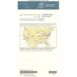
FAA H9/10 Instrument Flight Rules (IFR) Enroute High Altitude Chart – 07/09/26 thru 09/03/26

Aircraft Manuals (Poh)
Lycoming GSO-480 & IGSO-480 Series 1968 Parts Catalog PC-114 (PC-114)


Ifr Training Products
BLOCKALLS IFR View Limiting Device: The Evolution of Instrument Training
Reviews
There are no reviews yet.